Arrowsic Road Commission
Committee Members: Jim Stump (Chair), Brian Elwell, John Wood, Kevin Bachman
The Road Commission oversees the town roads in Arrowsic, including plowing, construction, and maintenance.
If you have a concern about a town road, contact Jim Stump at 207-650-0630
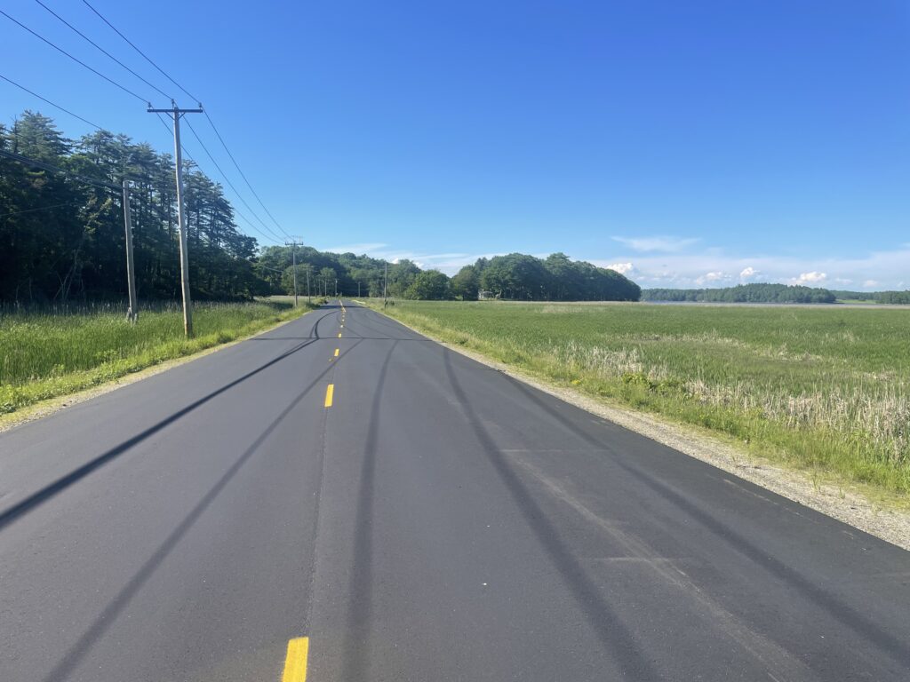
2026-7 MDOT PLANS RTE 127 CONSTRUCTION
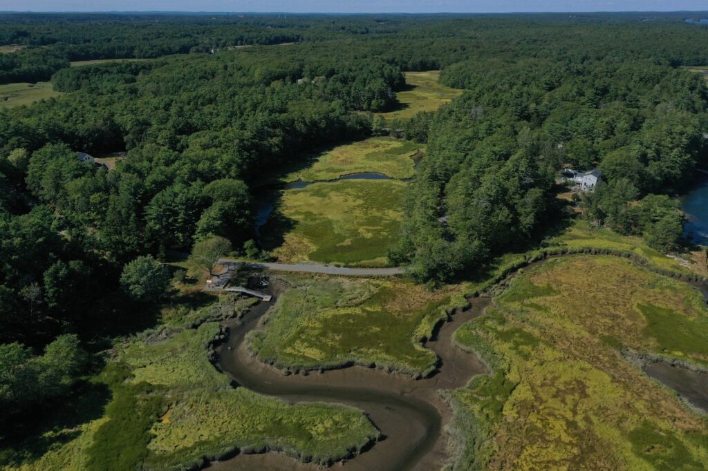
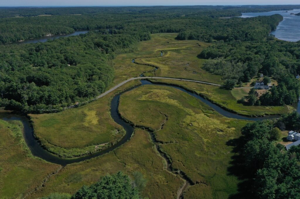
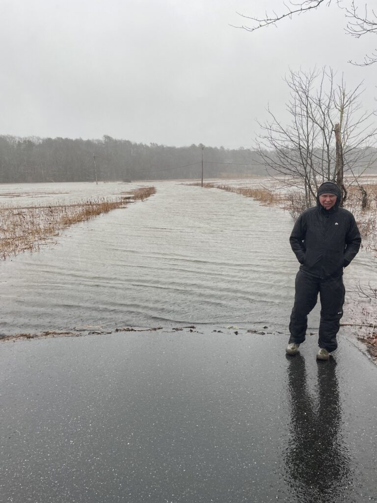
MDOT is planning to reconstruct two sections of Route 127 in Arrowsic and replace the culverts. The two sections are the places that frequently flood: the northern causeway across the marsh and the Fisher Eddy marsh. An informational meeting was held with 7 MDOT officials at Arrowsic Town Hall on October 13 with 27 attendees. A paper copy of MDOT’s plans is available for review at the town hall. The town submitted comments during the comment period (see link) and MDOT provided their response (see link).
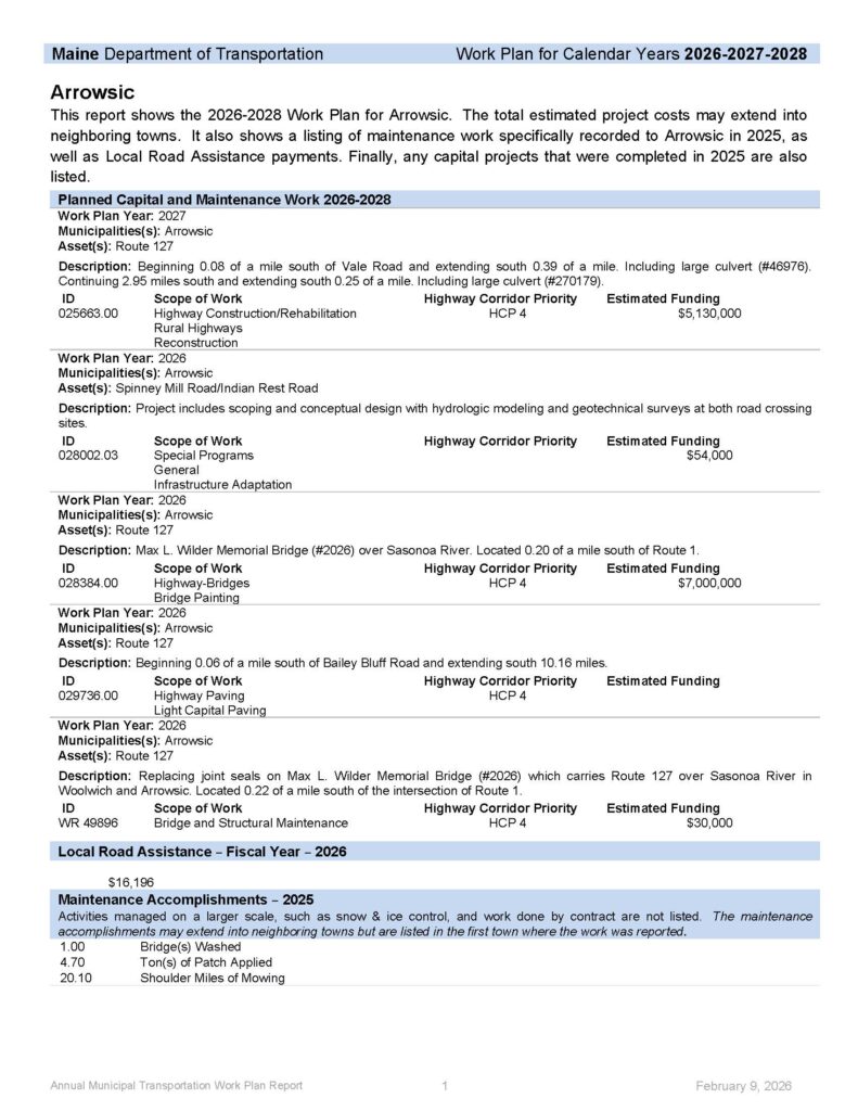
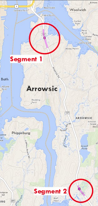
The full plans are available here.
ARROWSIC ROADS STUDY
Background
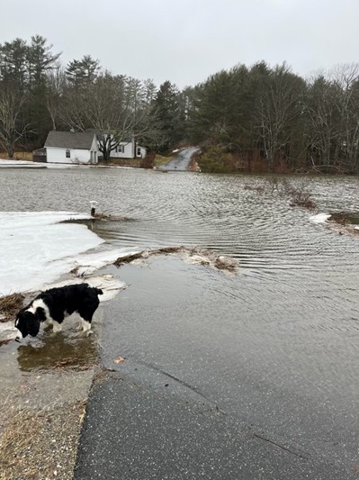
In addition to work on the Route 127 flooding by Maine DOT (see additional information above), Arrowsic has a study that began in May 2025 to assess the flooding issues on Spinney Mill and Indian Rest Roads. The study is funded by a $50,000 grant from the Maine Infrastructure Adaptation Fund. The Arrowsic Resilience Committee worked with the Kennebec Estuary Land Trust and other volunteers to secure the grant. The study is being conducted by Inter-Fluve (an employee-owned firm specializing in investigations, design, and restoration of rivers, lakes and wetlands). Public meetings with the contractor for advisory committee members and the public were held at Town Hall on June 3rd, September 30th, January 13th, and February 12th.
Study Results
The study will propose potential solutions to mitigate flooding issues including minimizing road damage, provide for safe and reliable access, and improve the health and resilience of the impacted salt marshes. Goals of the study are to find ways to:
- reduce community vulnerability to sea-level rise and coastal storm surges.
- mitigate factors leading to increased coastal hazards.
- support community safety and well-being, while restoring and sustaining habitat for the native fish and wildlife that contribute to the vitality of the region.
- sustain reliable access to the Spinney Mill peninsula.
Spinney Mill and Indian Rest Roads have similar flooding issues but present different challenges for public health and safety. Indian Rest does not cut-off access for any residents when flooded since it has two access points. When Spinney Mill Road is severely flooded, 11 homes have no access to or from the peninsula, and this includes for emergency services.
Next Steps
The study has been completed. Inter-Fluve has delivered their final reports and all documents have been filed with MDOT. Preliminary design ideas have been presented (see Zoom presentation from the February 12 meeting is still available here (use a passcode of W$3rwD&a for access)). The final reports from Inter-Fluve have been completed and are available here[JW1] . All alternatives proposed for the two road crossings have specifically been shaped to meet the 2100 goals of the Maine Climate Action Plan. Both road crossings currently flood during high tides and storms, with increasingly worse flooding predicted in the future. The alternatives include options for raising the height of the road surface, increasing the size of culvert or bridge structures to facilitate flow, and/or moving the road alignment in order to increase the resilience of the sites to storm and flooding impacts. The development of resilient crossings is underway as the Town selects the solution that best meets the Towns needs and can realistically be funded. Current plans are to seek funding to complete engineering and design work for resilient crossings to have “shovel ready” projects to take advantage of any funding that might be available. Any actions to be implemented will be decided by the Town.
For more information on completed studies: